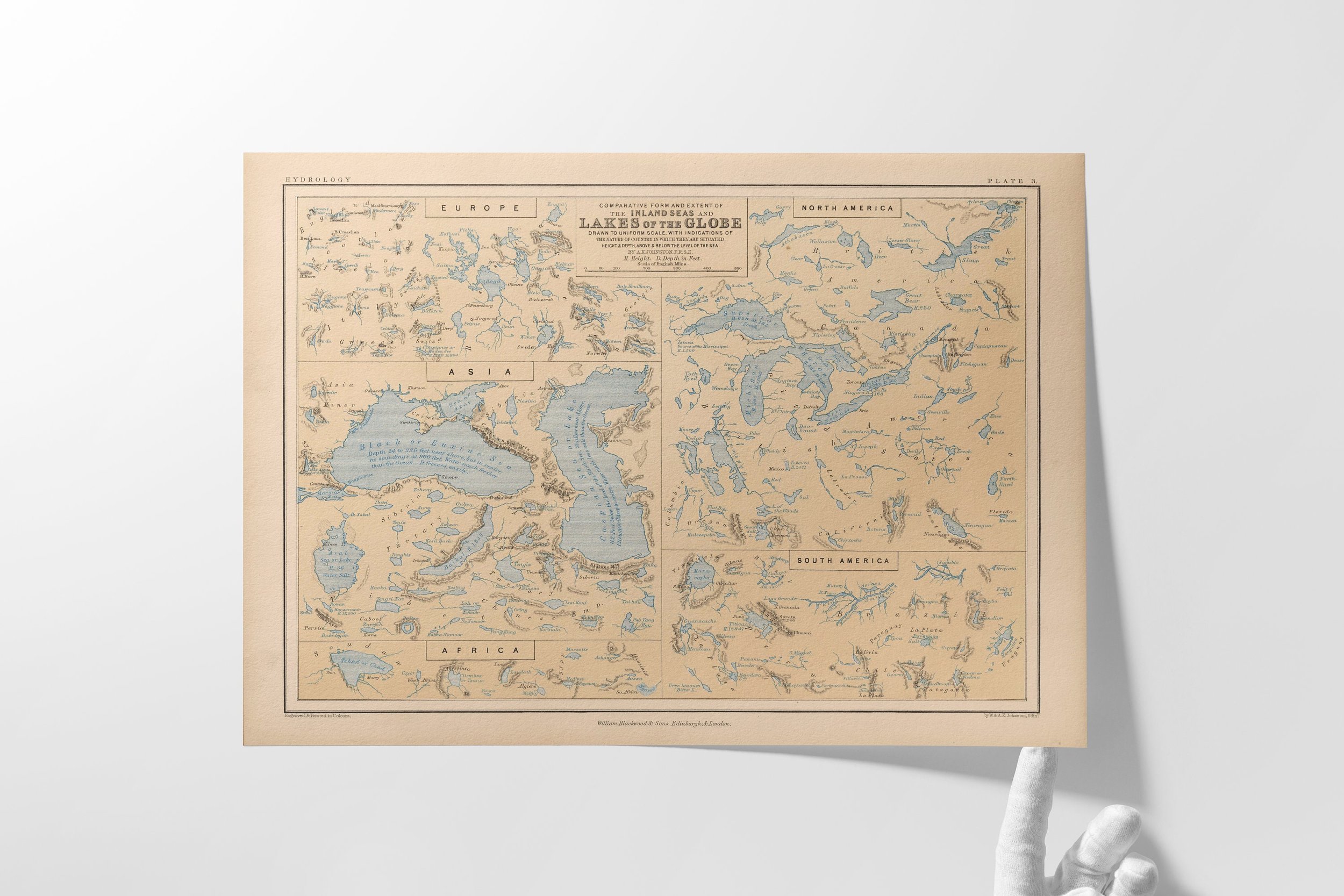
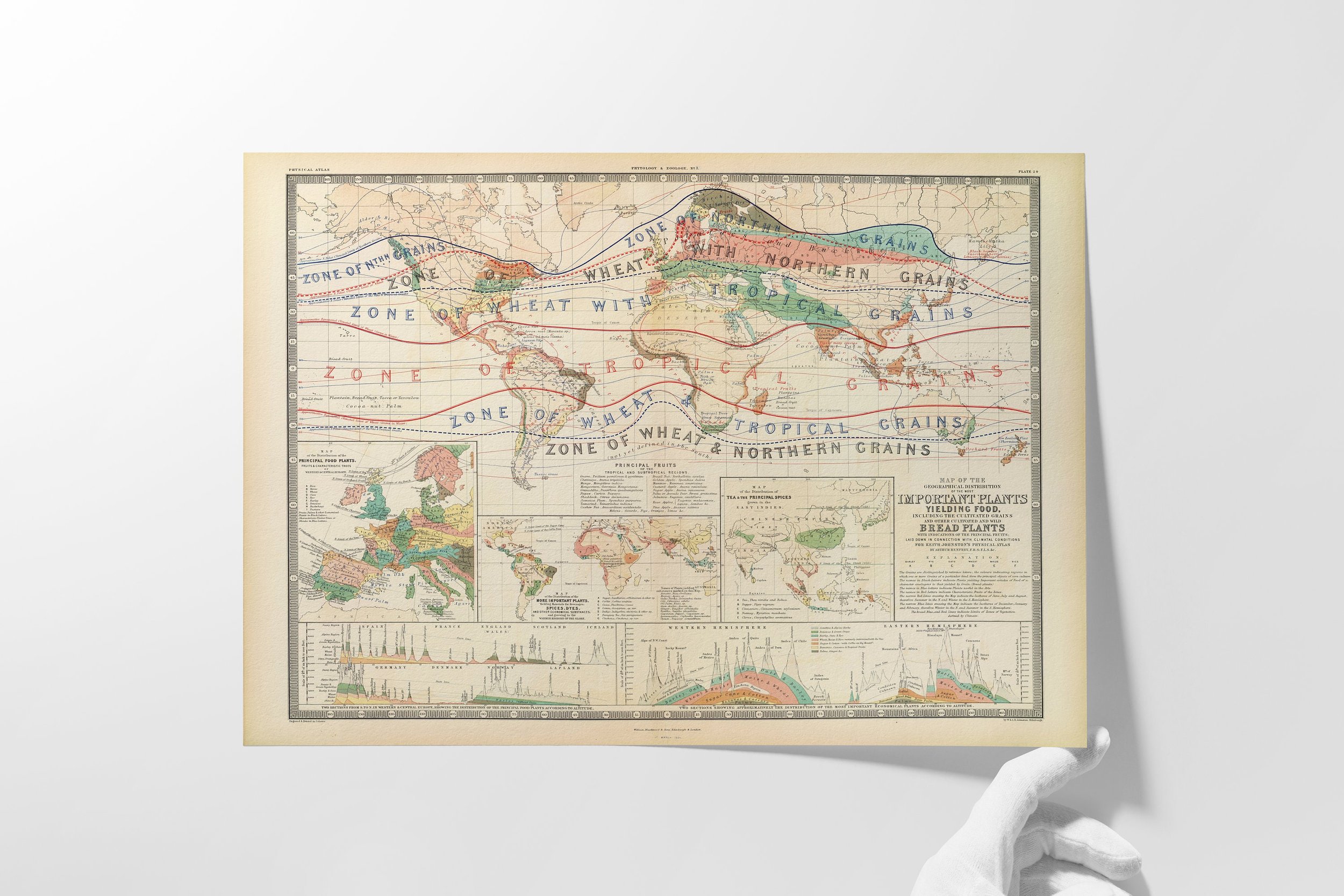
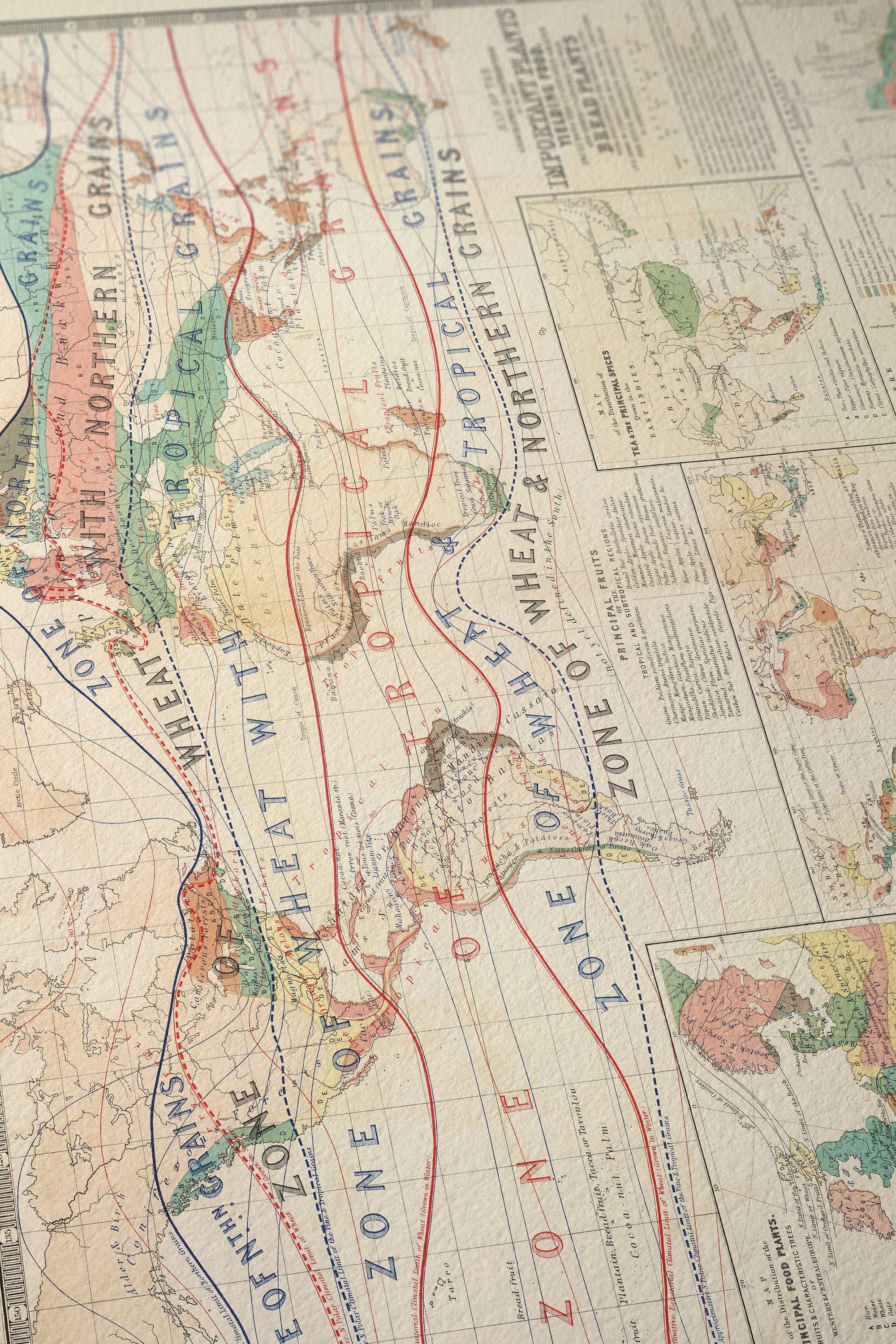
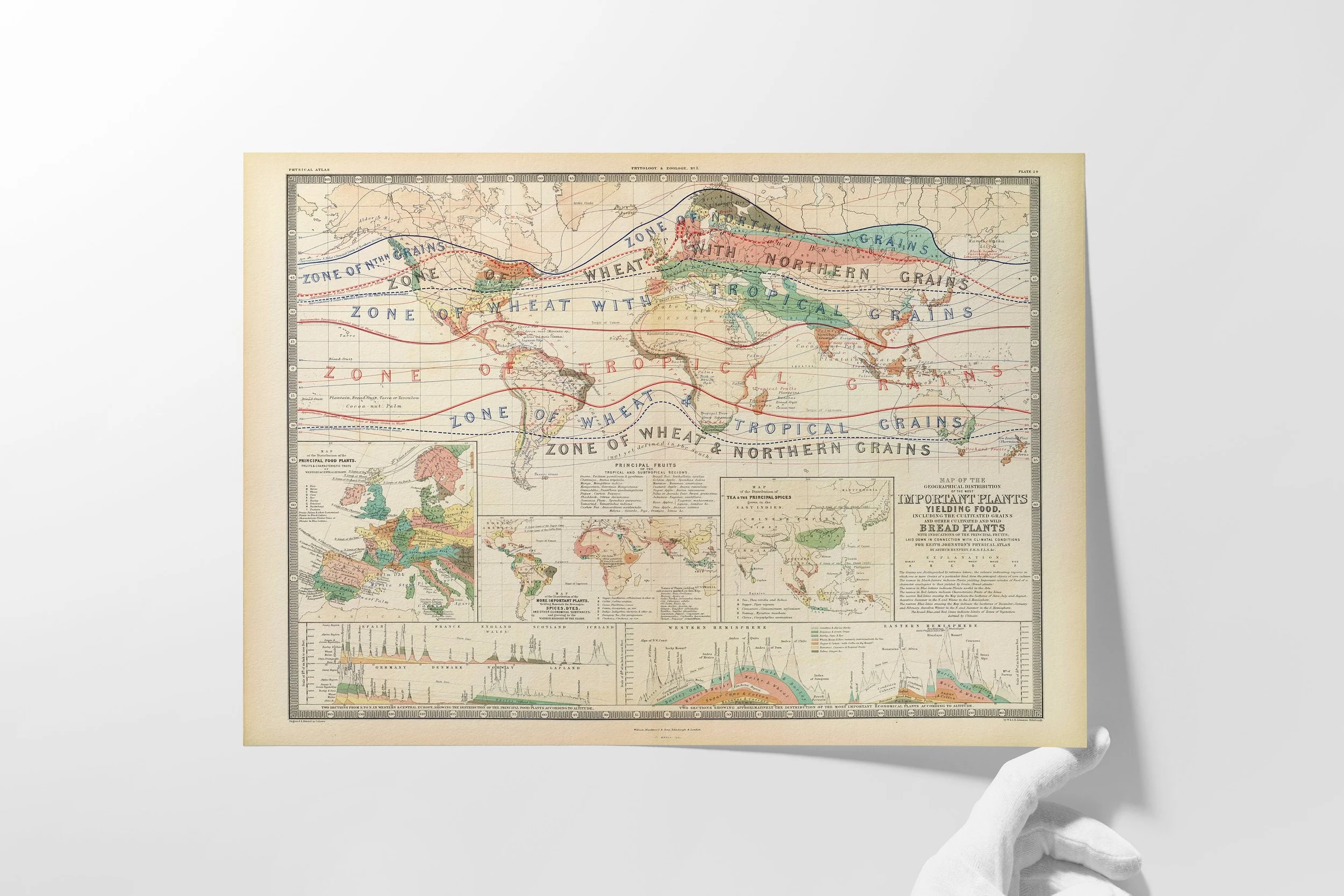
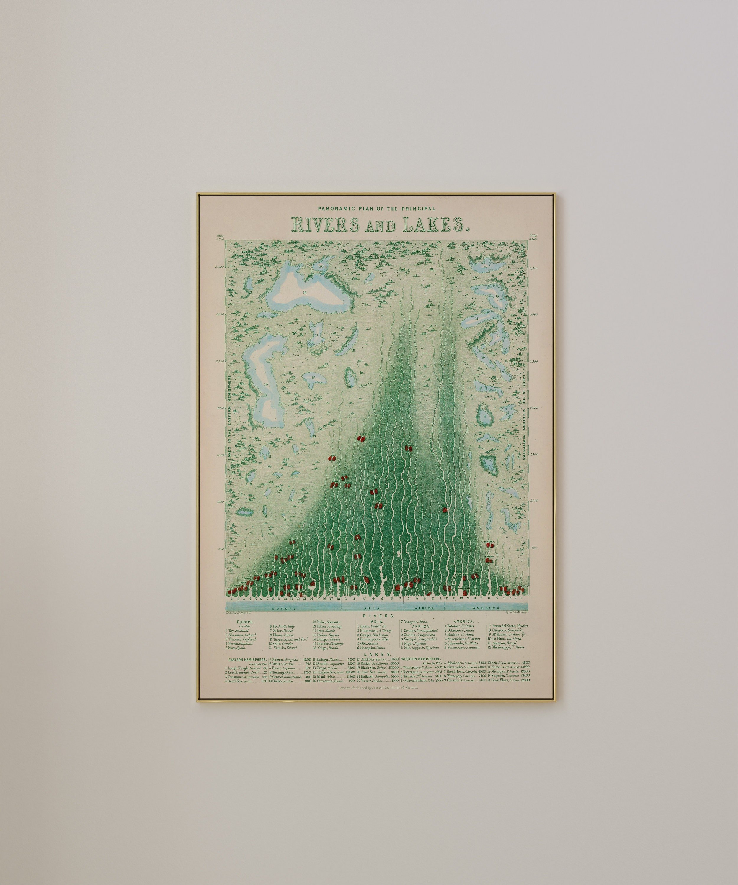
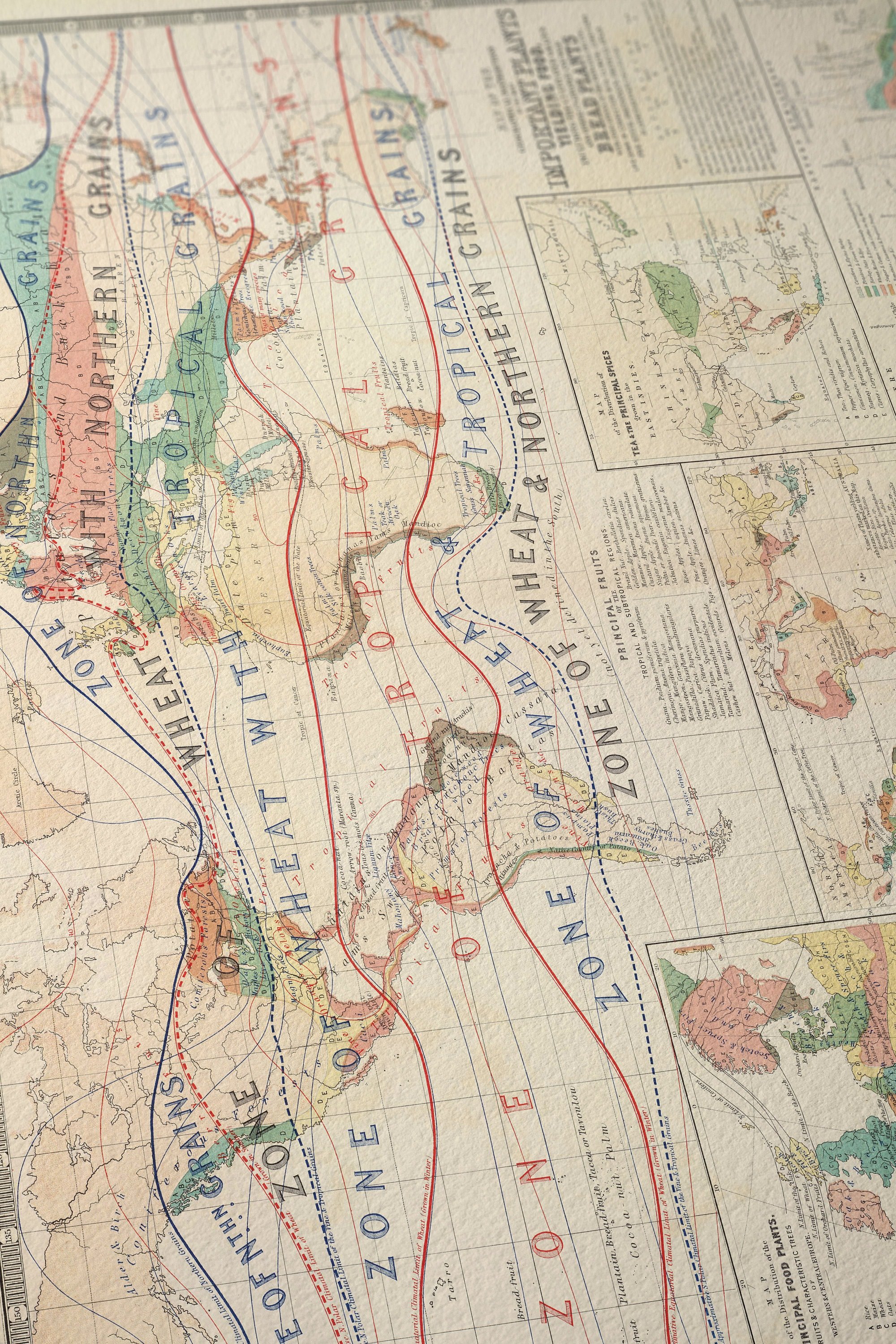
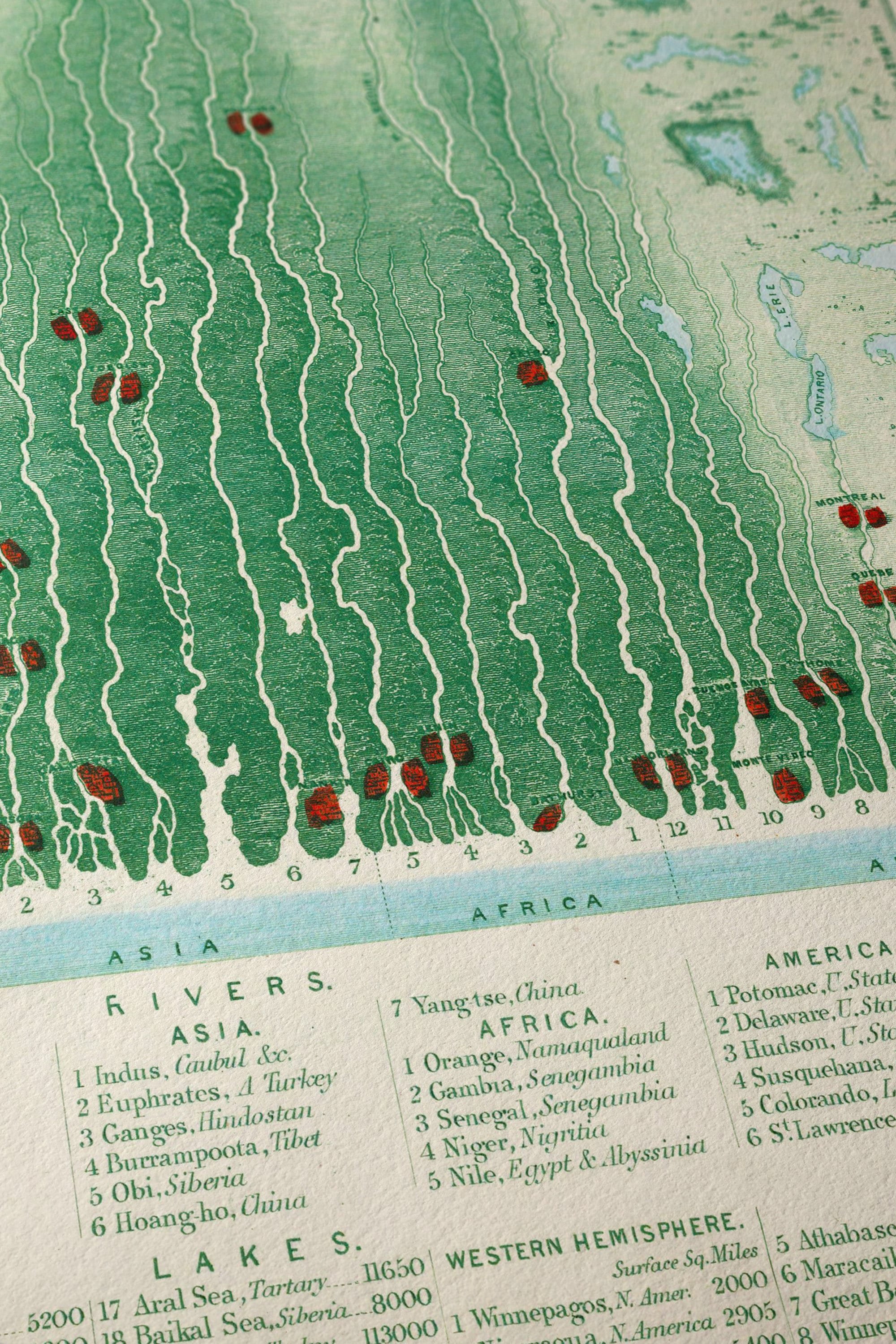
🌍 Welcome to Tarru Nadi: Where Maps Transcend Time 🗺️

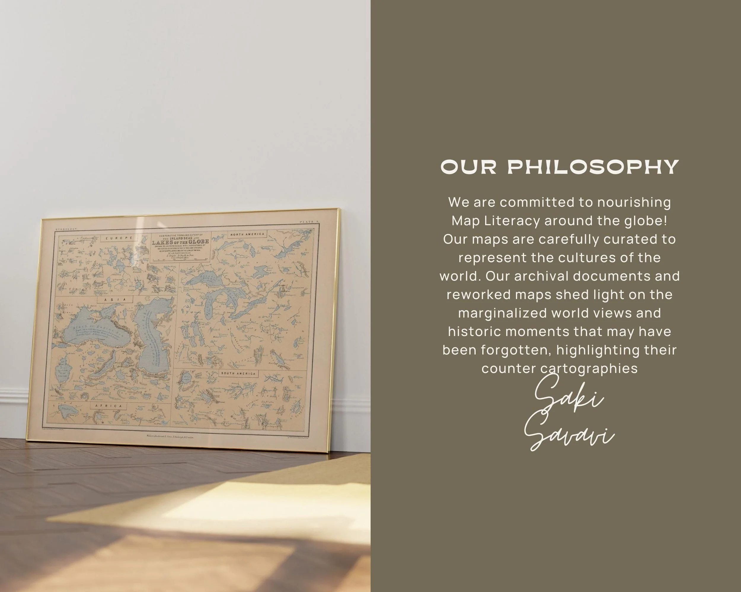
At the crossroads of historical cartography and contemporary consciousness, our atelier reimagines the geography of human understanding. Each map in our collection invites you to traverse the boundaries between past and present, science and art - creating tools for the modern global citizen with a passion for cultural exploration.

🔥 LEO SEASON LIBERATION MAPS NOW LIVE! 🗺️

Creative Sovereignty Meets Historical Cartography ✨

Celebrate Leo season with maps honoring independence movements where artistic expression fueled political transformation! 🦁

🌟 NEW ARRIVALS:

🎵 Jamaica Maps - Where reggae became revolutionary cartography
🏝️ Singapore Collection - Strategic creativity builds sovereignty
🏔️ Peru Liberation - Indigenous rights meet independence
🌍 Equatorial Africa Bundle - Collective leadership in action
🔥 Complete Leo Season Set - All 20+ August liberation movements!

WHY CHOOSE TARRU NADI:

🎨 Museum-quality prints on premium archival paper
📚 Educational context connecting history to cosmic wisdom
🗺️ Counter-cartographic perspective honoring indigenous territories
💝 Limited edition Leo season collections

Perfect for: Creative workspaces, liberation history students, collectors, and anyone exploring heart-centered leadership! 💖

🎯 SPECIAL OFFER:

Code HEARTFIRE = 15% off Leo Season Collections through August 22nd! 🔥

Different maps create different possibilities ✨

Questions? Message us about custom orders or educational bundles! 💌

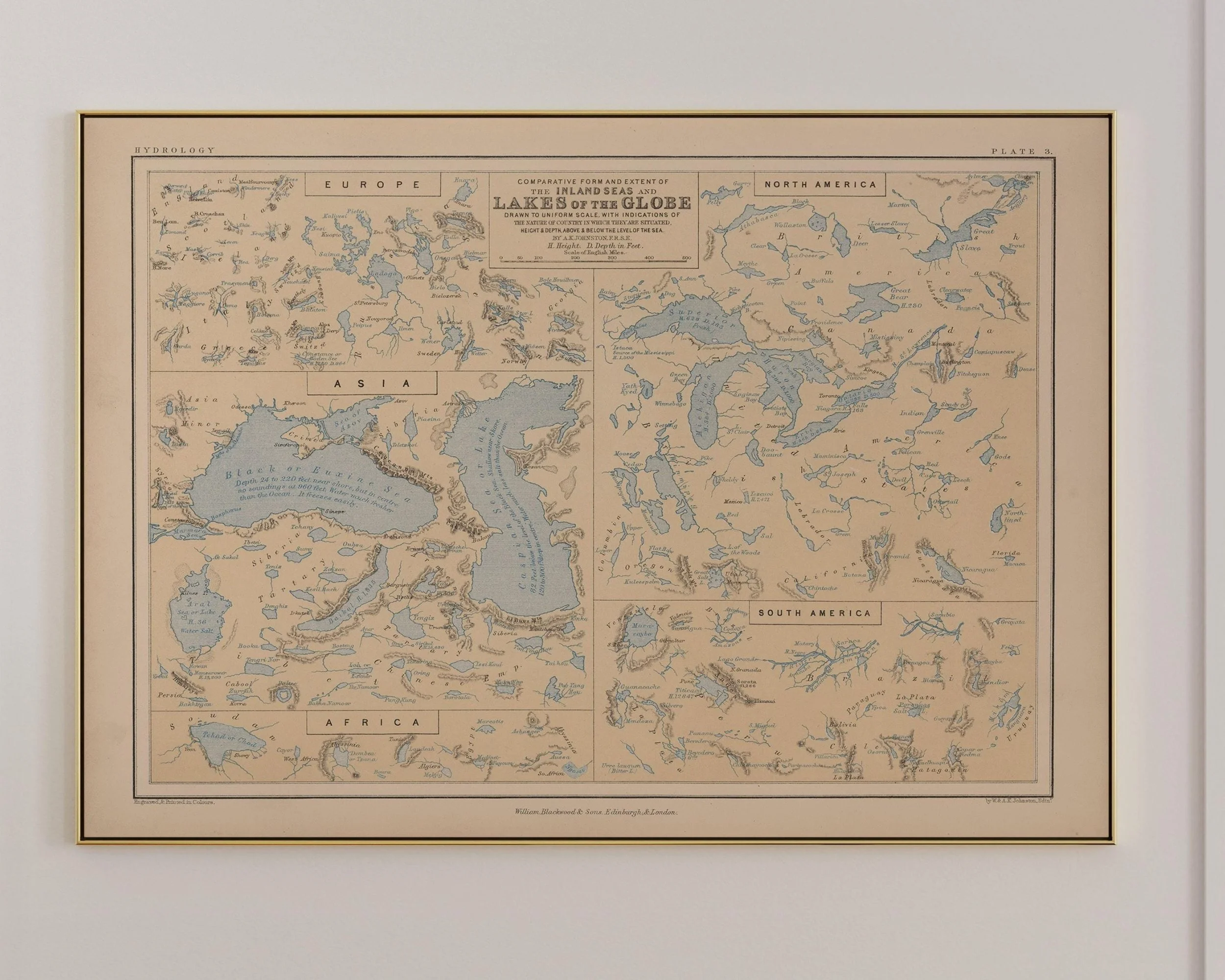
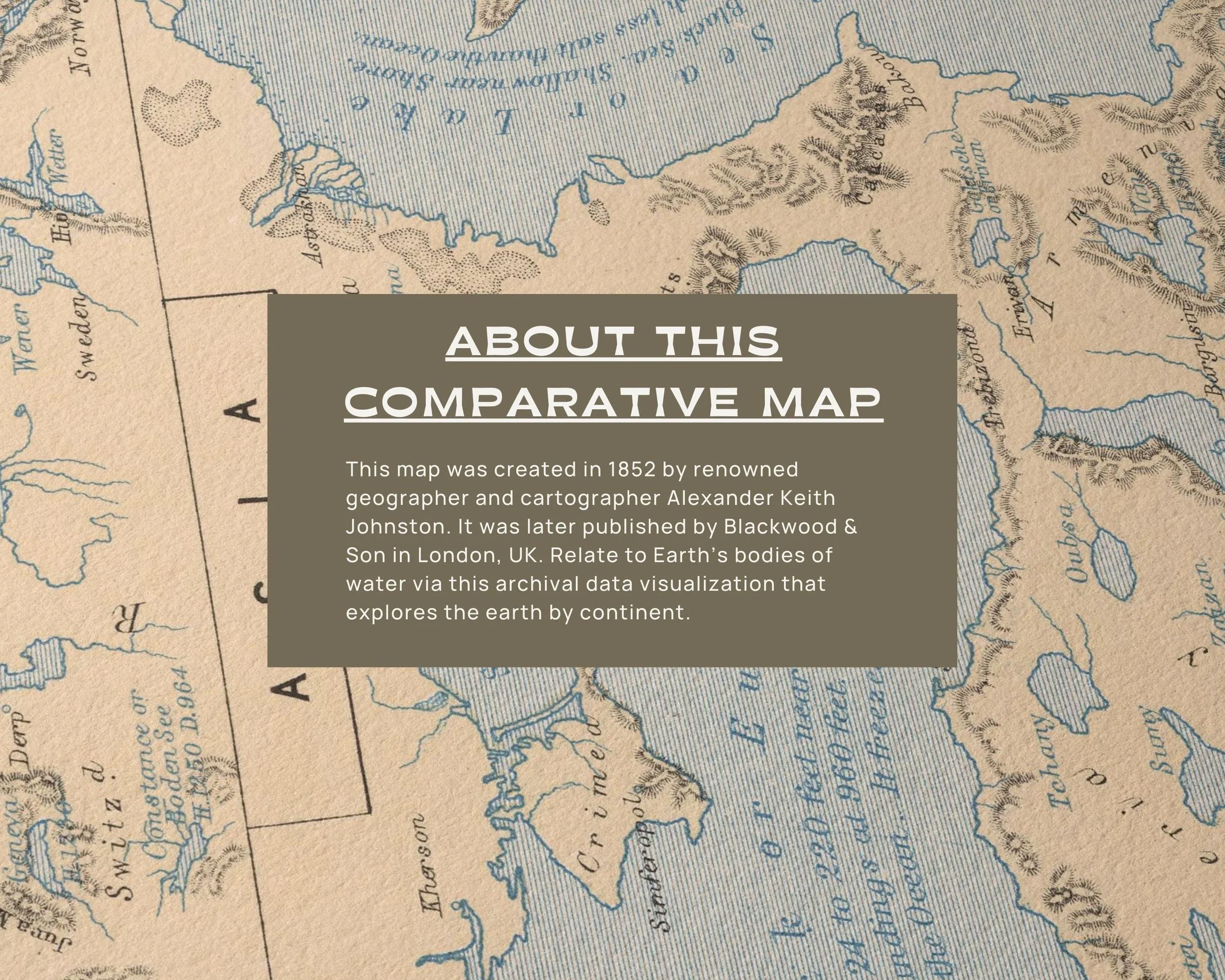
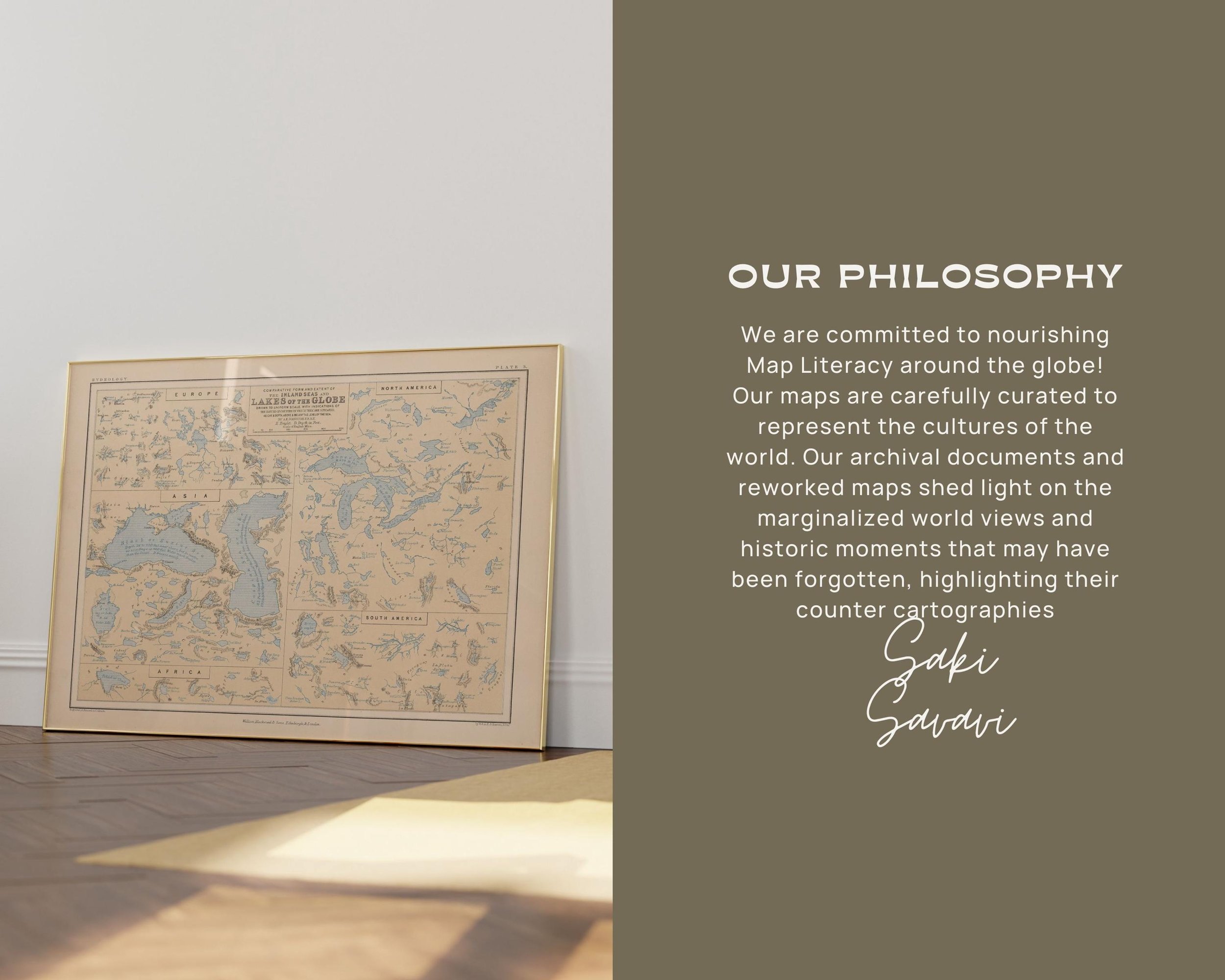
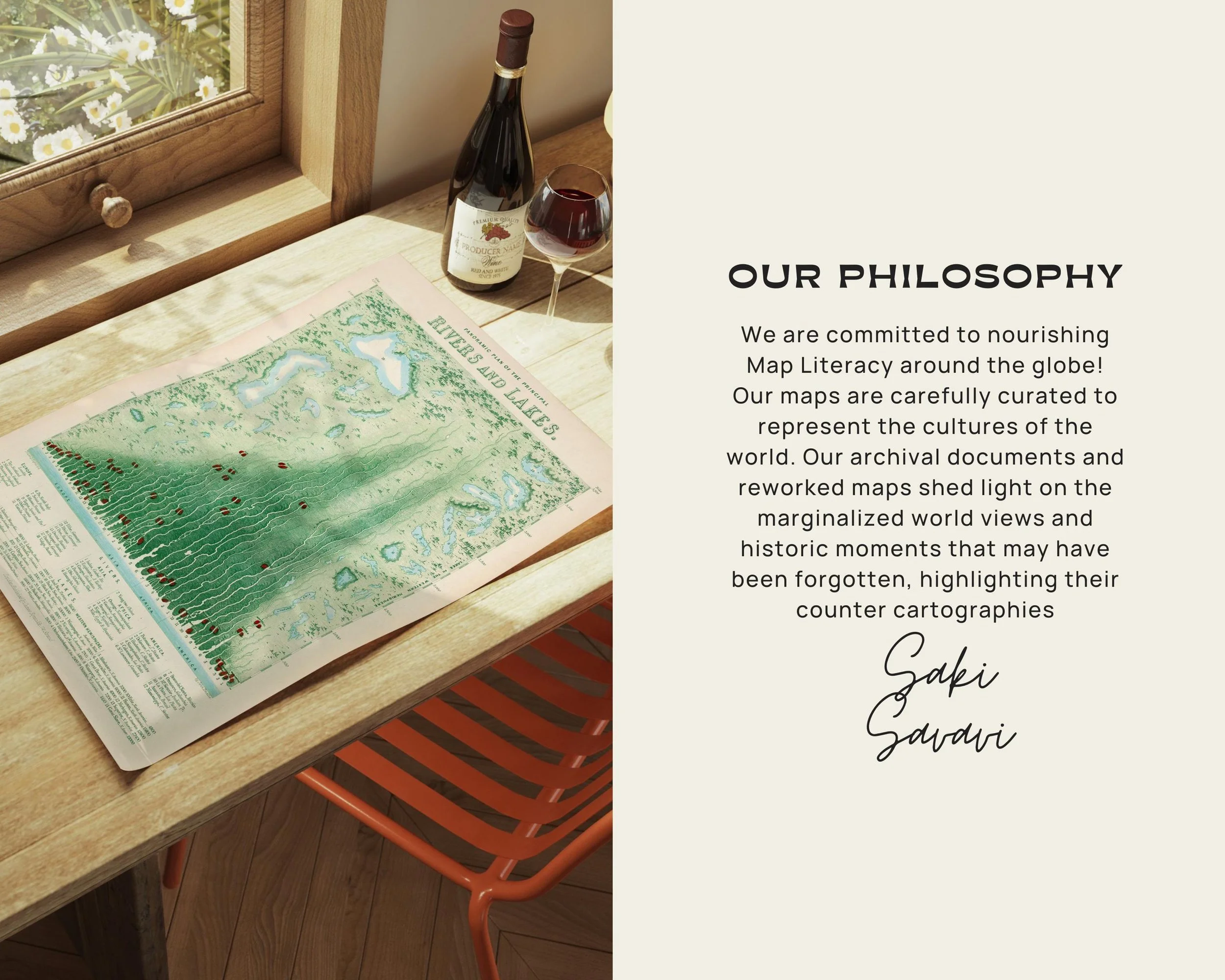
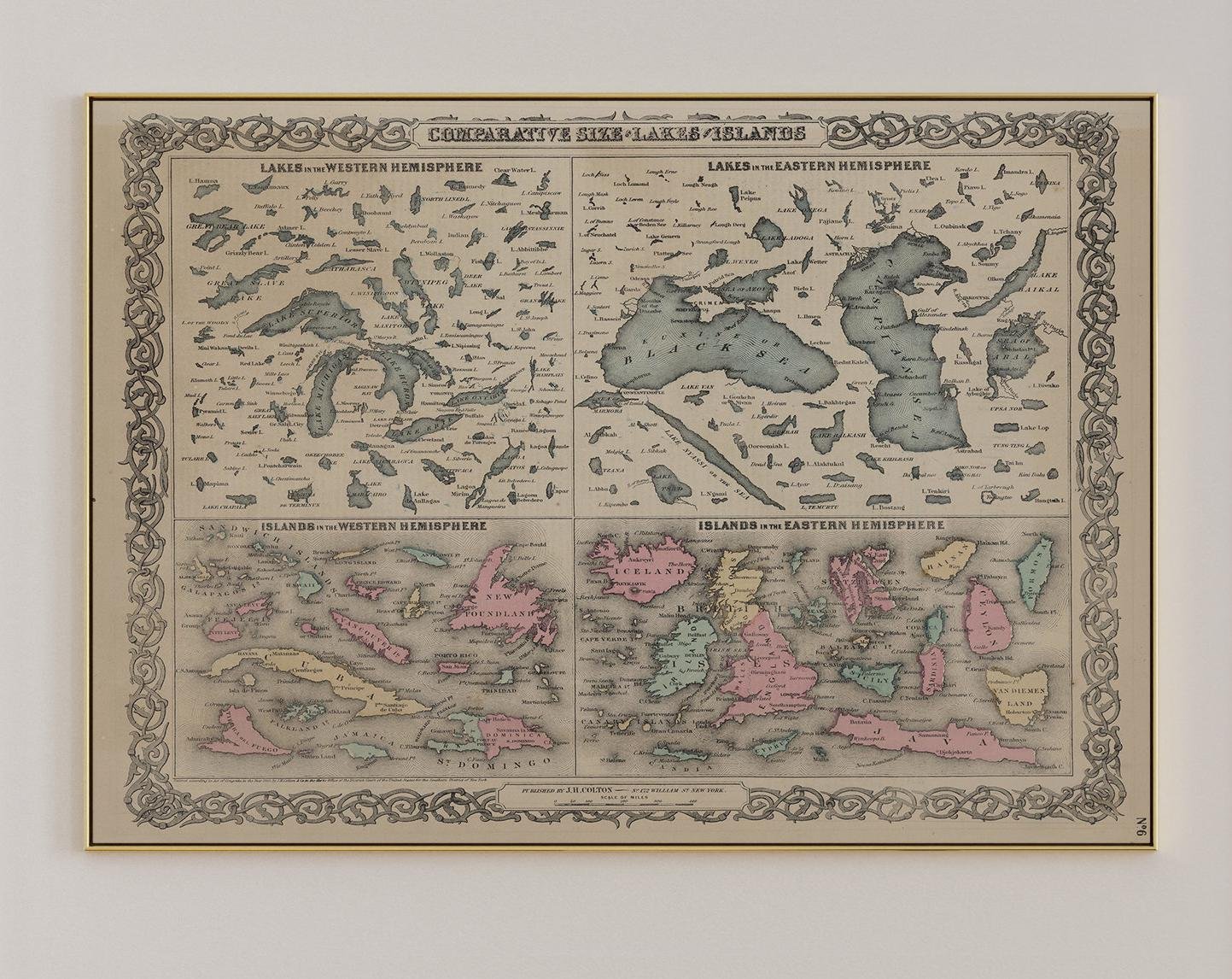
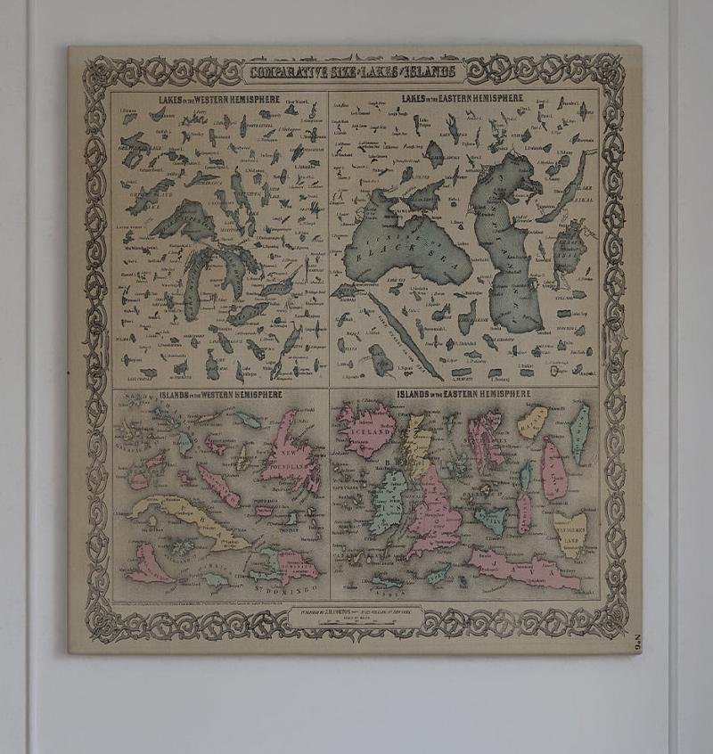
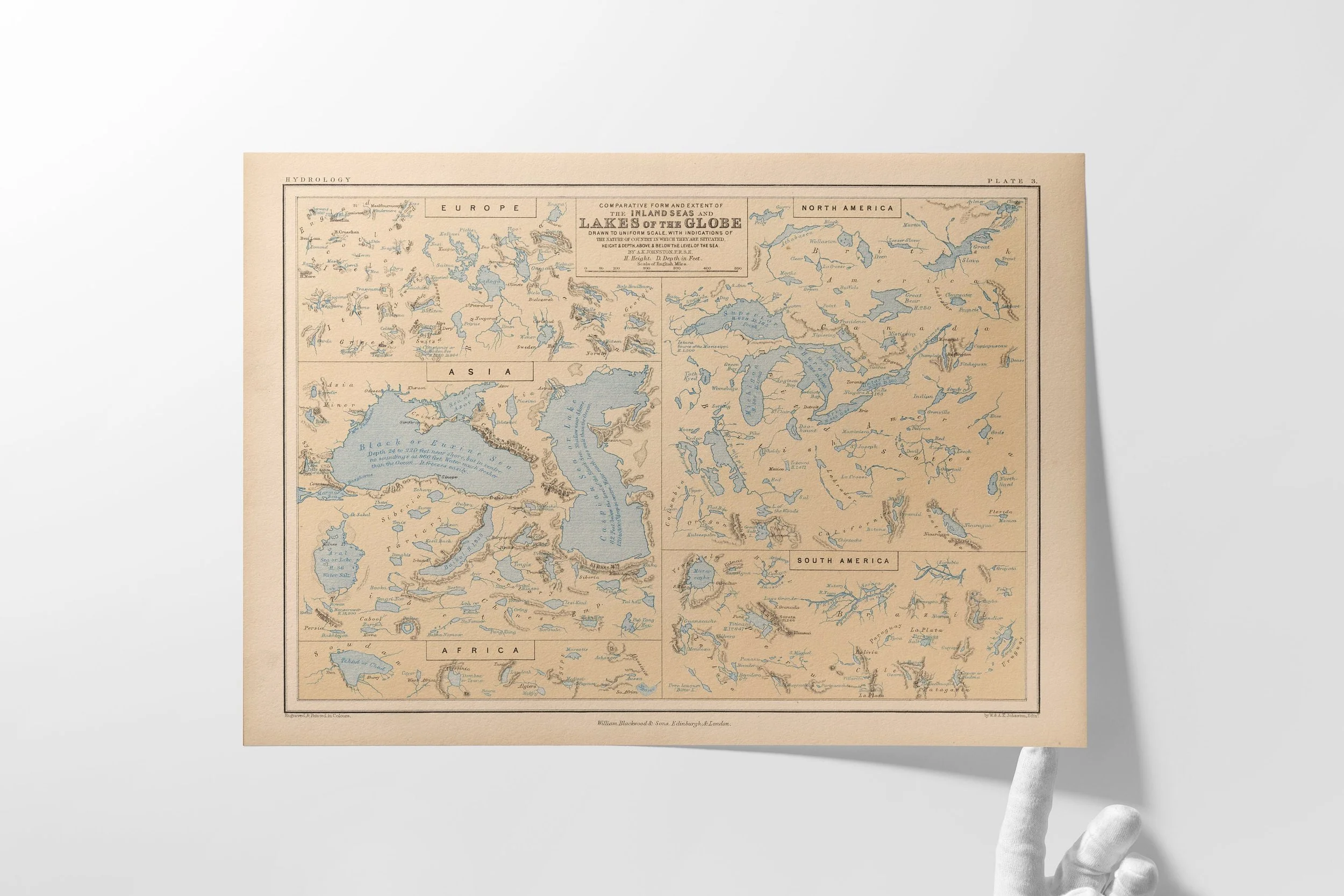
The maps we cherish are not merely representations of space, but invitations to reconsider our relationship with place—each artifact a testament to the psychogeographic traditions that bind us across continents and centuries.

Comparative Maps

1852 Inland Seas and Lakes of the Globe Map | Alexander Keith Johnston | Vintage Comparative Hydrology Chart | Geographical Wall Art
from $30.00
View Options
1850 Panoramic Plan of the Principal of Rivers and Lakes | Historic Map of Rivers and Lakes | James Reynolds vintage maps | Wall Art Prints
from $30.00
View Options
1850 Panoramic Plan of the Principal of Rivers and Lakes | Historic Map of Rivers and Lakes | James Reynolds vintage maps | Wall Art Prints
from $30.00
View Options
1852 Inland Seas and Lakes of the Globe Map | Alexander Keith Johnston | Vintage Comparative Hydrology Chart | Geographical Wall Art
from $30.00
View Options
1850 Panoramic Plan of the Principal of Rivers and Lakes | Historic Map of Rivers and Lakes | James Reynolds vintage maps | Wall Art Prints
from $30.00
View Options
1852 Inland Seas and Lakes of the Globe Map | Alexander Keith Johnston | Vintage Comparative Hydrology Chart | Geographical Wall Art
from $30.00
View Options
1852 Inland Seas and Lakes of the Globe Map | Alexander Keith Johnston | Vintage Comparative Hydrology Chart | Geographical Wall Art
from $30.00
View Options
1850 Panoramic Plan of the Principal of Rivers and Lakes | Historic Map of Rivers and Lakes | James Reynolds vintage maps | Wall Art Prints
from $30.00
View Options
1852 Inland Seas and Lakes of the Globe Map | Alexander Keith Johnston | Vintage Comparative Hydrology Chart | Geographical Wall Art
from $30.00
View Options
1850 Panoramic Plan of the Principal of Rivers and Lakes | Historic Map of Rivers and Lakes | James Reynolds vintage maps | Wall Art Prints
from $30.00
View Options
1854 World Map of Important Food Plants | Alexander Keith Johnston | Vintage Agricultural Cartography | Historical Wall Art
from $30.00
View Options
1852 Inland Seas and Lakes of the Globe Map | Alexander Keith Johnston | Vintage Comparative Hydrology Chart | Geographical Wall Art
from $30.00
View Options
Comparative Map of Lakes and Islands 1878 | GW Colton | Classroom Maps | Classroom Wall Art
from $30.00
View Options
1850 Panoramic Plan of the Principal of Rivers and Lakes | Historic Map of Rivers and Lakes | James Reynolds vintage maps | Wall Art Prints
from $30.00
View Options
1850 Panoramic Plan of the Principal of Rivers and Lakes | Historic Map of Rivers and Lakes | James Reynolds vintage maps | Wall Art Prints
from $30.00
View Options
1854 World Map of Important Food Plants | Alexander Keith Johnston | Vintage Agricultural Cartography | Historical Wall Art
from $30.00
View Options
1852 Inland Seas and Lakes of the Globe Map | Alexander Keith Johnston | Vintage Comparative Hydrology Chart | Geographical Wall Art
from $30.00
View Options
Comparative Map of Lakes and Islands 1878 | GW Colton | Classroom Maps | Classroom Wall Art
from $30.00
View Options
1850 Panoramic Plan of the Principal of Rivers and Lakes | Historic Map of Rivers and Lakes | James Reynolds vintage maps | Wall Art Prints
from $30.00
View Options
1854 World Map of Important Food Plants | Alexander Keith Johnston | Vintage Agricultural Cartography | Historical Wall Art
from $30.00
View Options
1852 Inland Seas and Lakes of the Globe Map | Alexander Keith Johnston | Vintage Comparative Hydrology Chart | Geographical Wall Art
from $30.00
View Options
1852 Inland Seas and Lakes of the Globe Map | Alexander Keith Johnston | Vintage Comparative Hydrology Chart | Geographical Wall Art
from $30.00
View Options
1854 World Map of Important Food Plants | Alexander Keith Johnston | Vintage Agricultural Cartography | Historical Wall Art
from $30.00
View Options
1850 Panoramic Plan of the Principal of Rivers and Lakes | Historic Map of Rivers and Lakes | James Reynolds vintage maps | Wall Art Prints
from $30.00
View Options
1852 Inland Seas and Lakes of the Globe Map | Alexander Keith Johnston | Vintage Comparative Hydrology Chart | Geographical Wall Art
from $30.00
View Options
1854 World Map of Important Food Plants | Alexander Keith Johnston | Vintage Agricultural Cartography | Historical Wall Art
from $30.00
View Options
Comparative Map of Inland Lakes and Sea of the Globe | Vintage Cartography | Archival Documents | Alexander Keith Johnston | British Maps
from $48.00
Add To Cart
Map of Distribution of Plants 1854 | Archival Data Visualization | Cartography | Collectible Maps | Vintage Documents | Vintage Wall Art
from $38.00
Add To Cart