1944 Map of Southeast Asia & Southwest Pacific | Louise E. Jefferson | Geography Art | Vintage Maps | Classroom Posters | Solomon Islands
🌱🗺️ About This Historic Map:
* Published in 1944 by Friendship Press, Inc.
* Authored by Cartographer Louise E. Jefferson
* This map depicts the political borders of Southeast Asia and Southwest Pacific
* Features borders and colorfully depicts, Solomon Islands, Australia, China, Borneo, Netherlands East Indies, Thailand, Vietnam, Philippine Islands, Mariana Islands, Caroline Islands, New Guinea, Bismarck Archipelago, Ellice Islands, Taiwan, Fiji Islands, Loyalty Islands, Burma, and parts of India
* Textured archival map
* Frames *not* included
* We do our best to heal these reproductions of delicate cartographies but please understand they will have minor defects from weathering of the original maps.
🖼️ Premium Print Options:
1. Hahnemühle German Etching Paper: • 310 gsm, 100% alpha-cellulose paper • Matte-textured surface for a fine art feel • Archival quality for long-lasting prints
2. Enhanced Matte Paper: • 210 gsm, resin-coated photographic paper • Slight gloss finish for vibrant color reproduction • Excellent for detailed image rendering Both feature fade-resistant inks for lasting vibrancy!
🏅 Why Choose TarruNadi Prints:
* Meticulously reproduced from high-resolution scans
* Professionally printed to order
* Fast processing time: 3-7 business days
* Secure packaging to ensure safe delivery
🎁 Perfect For:
* Descendants of Southeast Asia and Southwest Pacific
* People curious about historical geography
* Lovers of historical documents
* Cartography enthusiasts
* Environmental scientists and students
* Educators
* Vintage diagram collectors
* Libraries and educational institutions
* Historians and geographers
🚚 Shipping:
* Carefully rolled and shipped in a sturdy tube
* Tracked shipping available
* Please allow 1 week for delivery depending on location
🫱🏾🫲🏽 About the Seller: Saki Savavi here, the creative curator force behind TarruNadi. TarruNadi is a shop dedicated to offering reimagined and redesigned historical maps, as well as a curated selection of artisanal crafts from around the world. Our shop is a haven for the worldly, the global citizen, the land steward, and those reverent of Earth's ecology. We celebrate the interconnectedness of leylines and psychogeography, providing items that enhance your experience and connection to the world.
🔗 Explore More:
* Visit the website: https://sakisavavi.earth
* Follow me on Instagram: instagram.com/sakisavavi
💯 Our Promise: We're committed to your satisfaction. If you have any issues with your order, please contact us within 14 days of receipt, and we'll make it right.

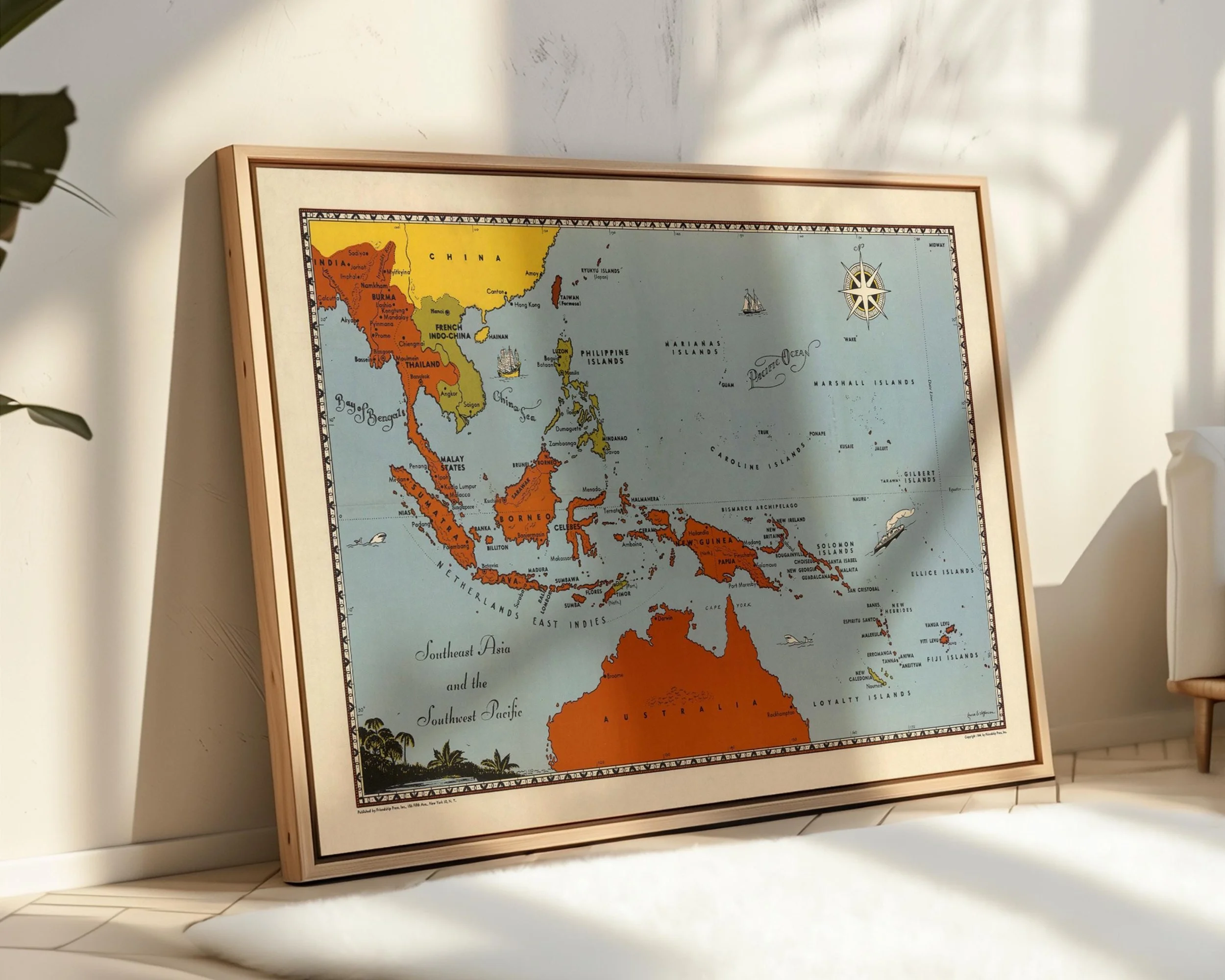 Image 1 of 10
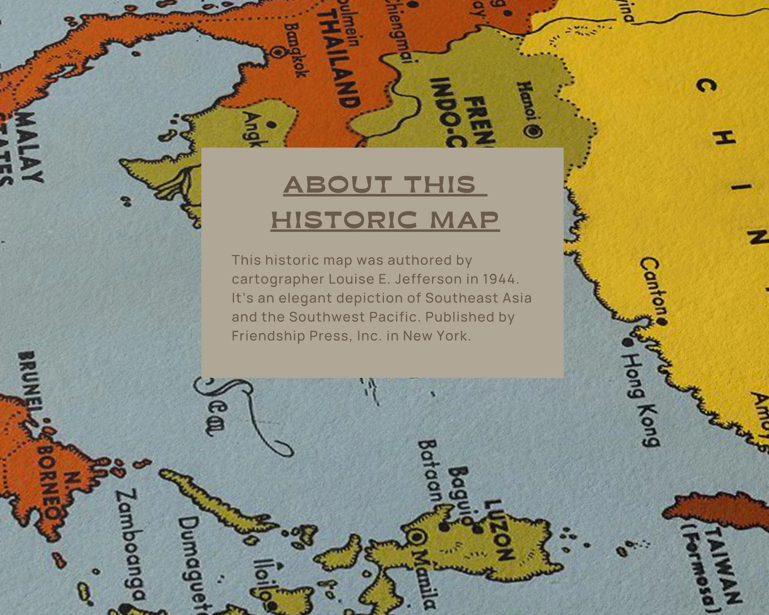 Image 2 of 10
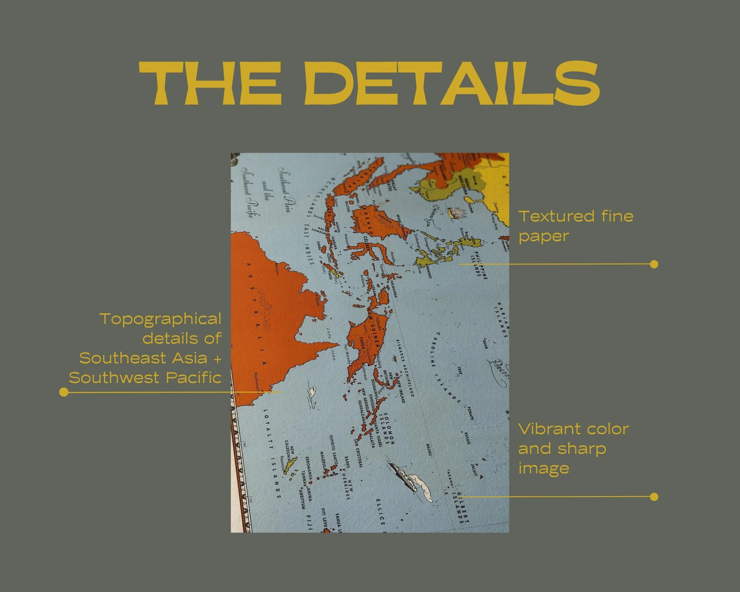 Image 3 of 10
 Image 4 of 10
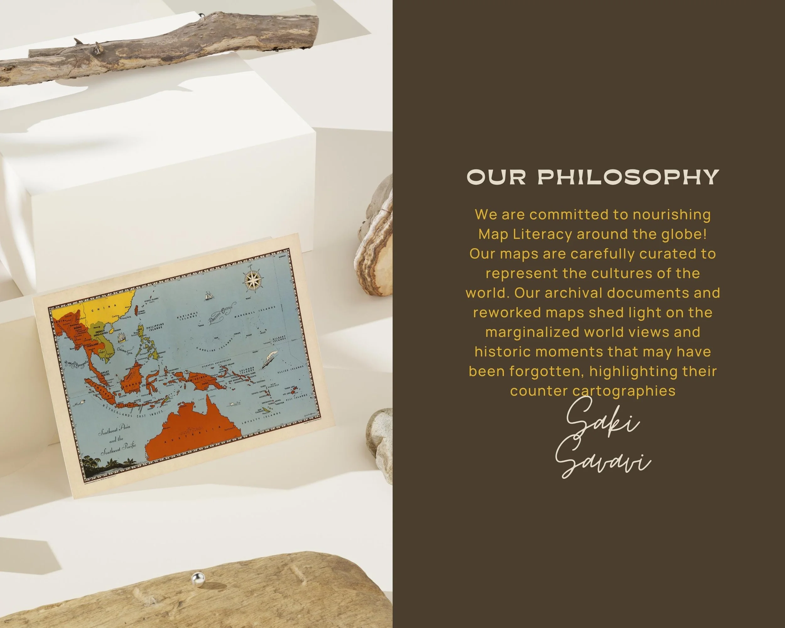 Image 5 of 10
 Image 6 of 10
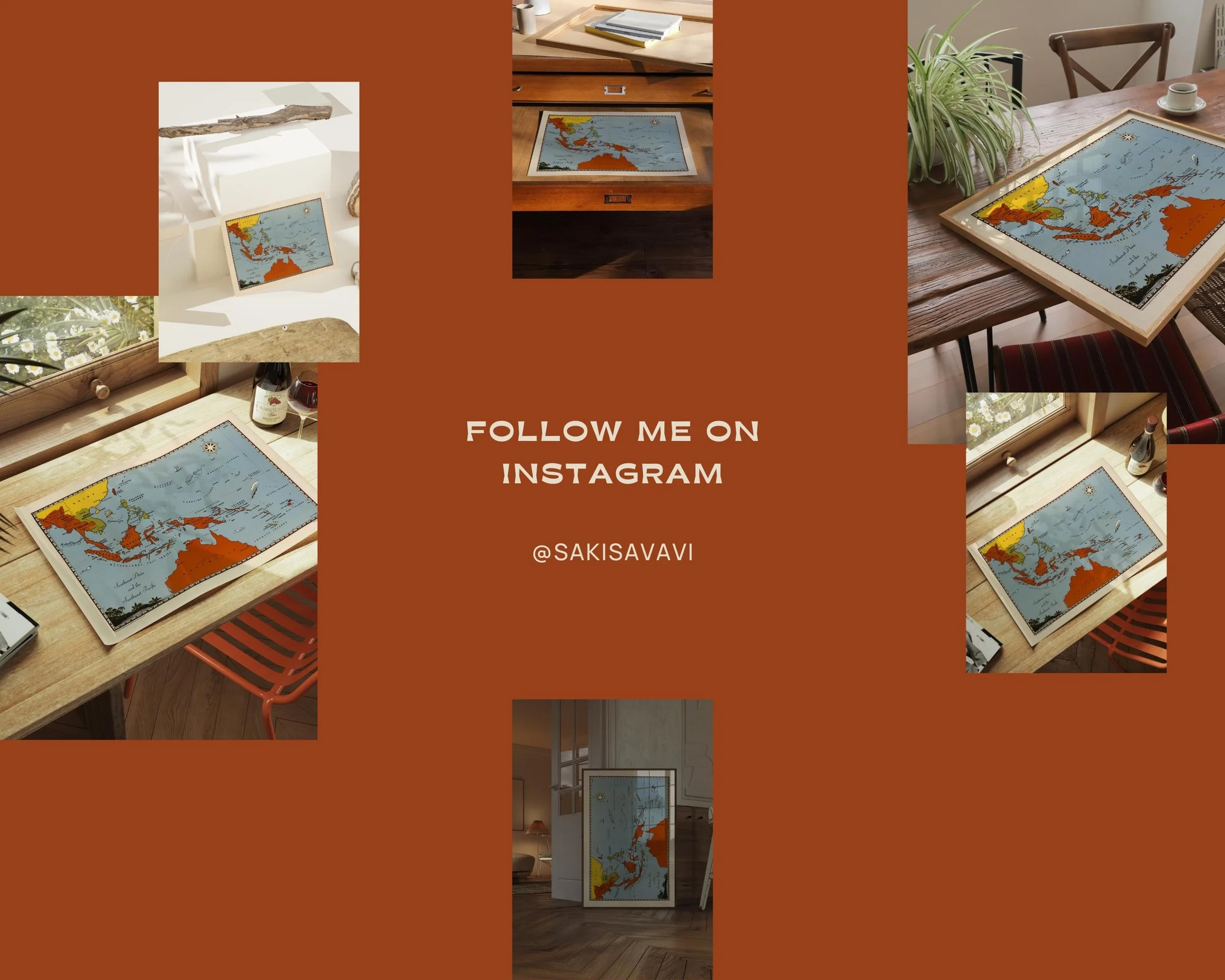 Image 7 of 10
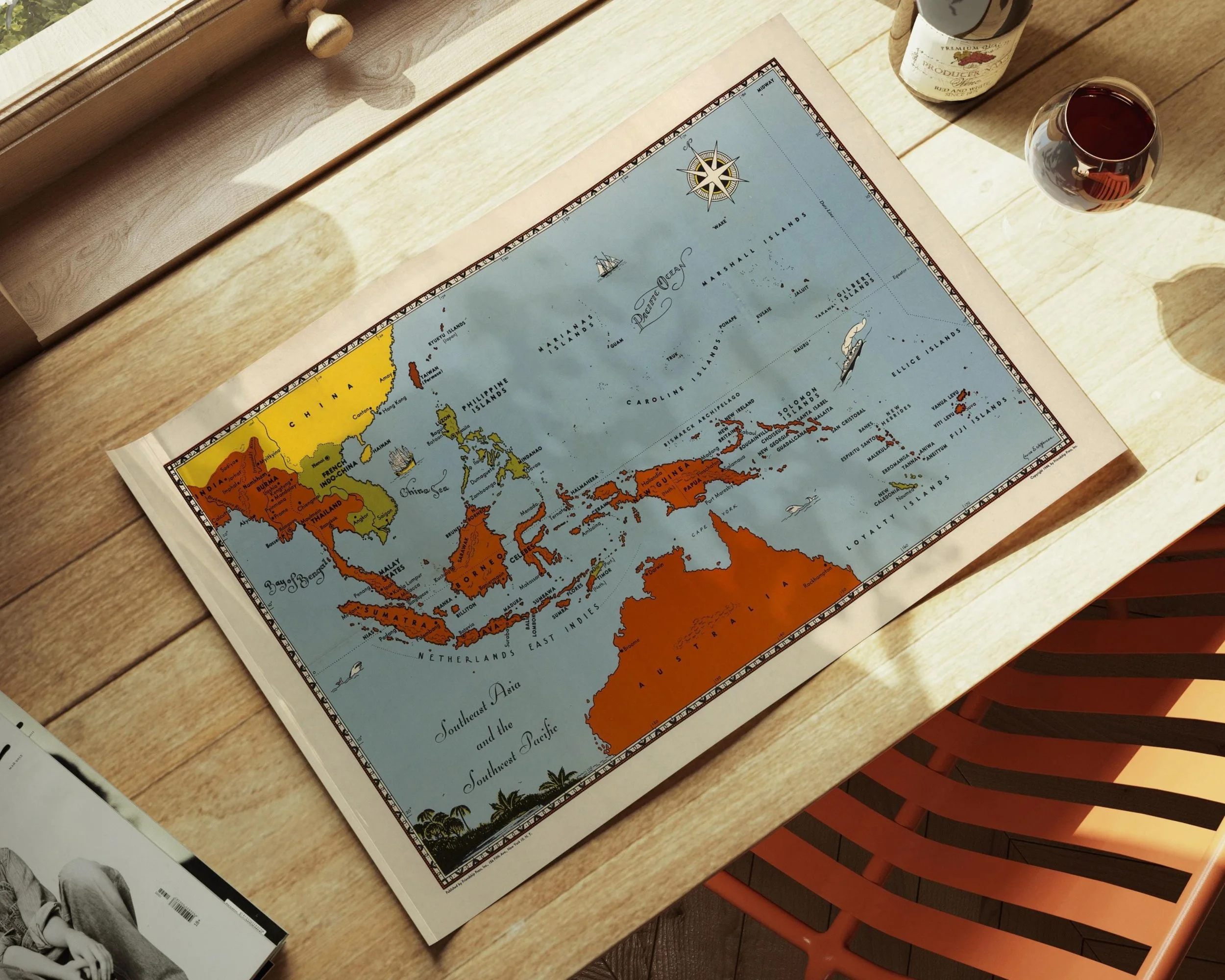 Image 8 of 10
 Image 9 of 10
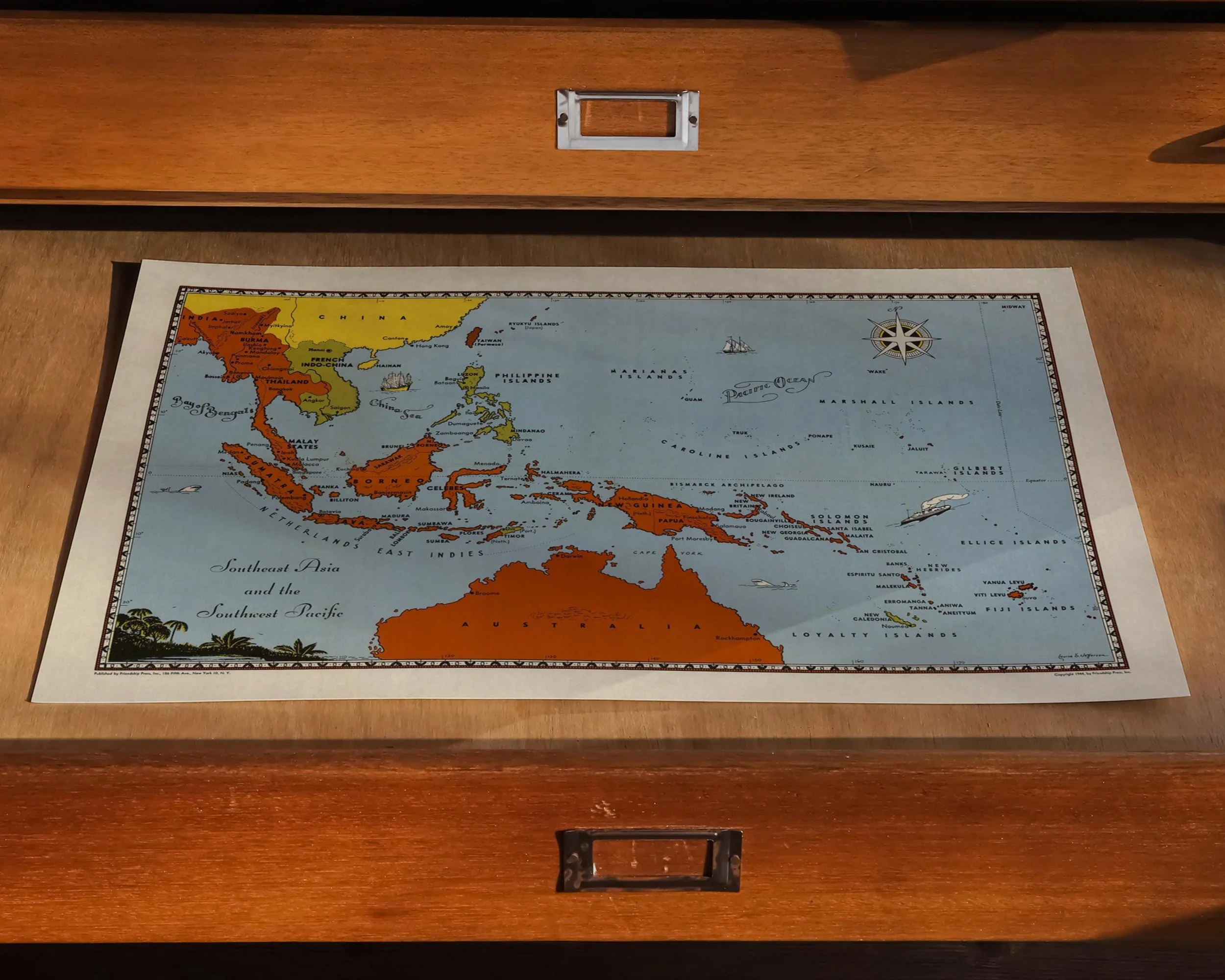 Image 10 of 10