Arab Map of Geographical Terminology | Turkish Archival Documents | Cartography Wall Art | Vintage Art | Ottoman Artifacts
from $48.00
"Istilahat Gugragiya" or Geographical Terminology is a detailed archival documents a collection of geographical symbols. Includes map, cross section, view of mountain heights, tables and charts of comparative highest of the mountains and length of the rivers Relief shown by shading and pictorially. Created by Turkish Cartographer Hafiz Ali Esref in 1868.
Printed on high-quality Hahnemühle German Etching paper, known for its texture and velvet-like finish, this art print brings historical significance to any space you set it in.
*Frames not included*
Perfect for art collectors, history enthusiasts, map collectors and those with a connection to American geography.

 Image 1 of 4
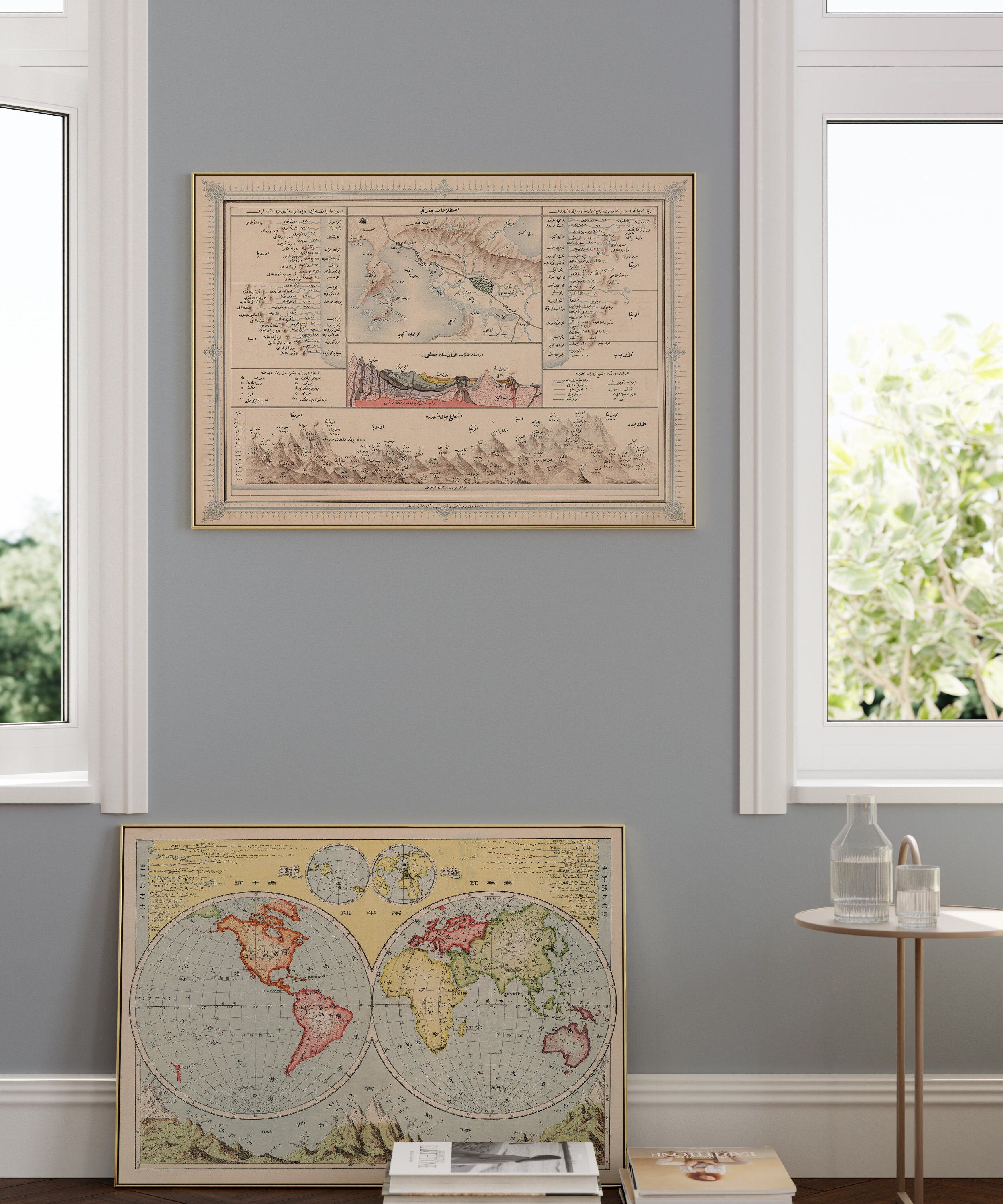 Image 2 of 4
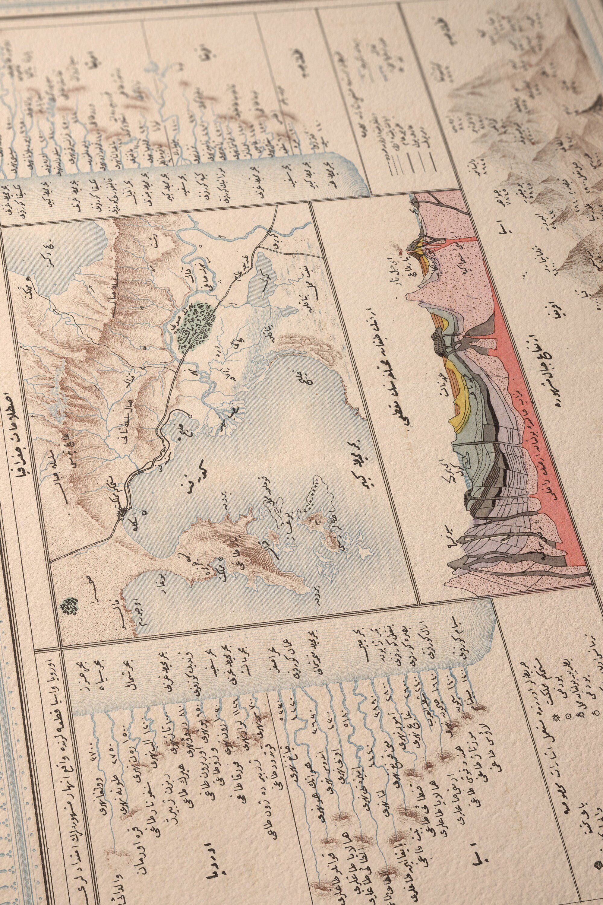 Image 3 of 4
 Image 4 of 4